PAProject author
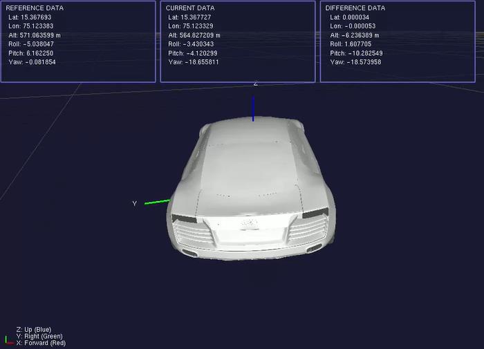
This project describes the development of a real-time 3D vehicle tracking and visualization system that uses Inertial Measurement Unit (IMU) and Global Navigation Satellite System (GNSS) data from Xsens sensors. The system is intended for use in autonomous driving, vehicle dynamics studies, and navigation systems. It provides precise real-time location and orientation tracking, as well as immersive 3D visualization. The primary goals include developing a dependable sensor data collecting pipeline, providing correct vehicle orientation rendering, optimizing real-time data processing, and constructing a modular software architecture for scalability. The system, built using C++ and OpenGL, uses the Xsens Device API for sensor transmission, quaternion-based orientation computations, and GPS-to-ENU coordinate conversions, all backed by a multi-threaded real-time processing framework. The resulting system achieves 100Hz data acquisition, precise vehicle model rendering with right orientation, smooth path history visualization, real-time reference and current data presentation, and consistent performance with minimal latency. Overall, this study demonstrates successful IMU GNSS integration for real-time vehicle tracking, laying the groundwork for sophisticated autonomous navigation and monitoring systems.
🎨 Design Files ✓📁 GitHub ✓